Maria Grazia Schiapparelli
Wrote 59 reports, for a total distance of 8,85Km up and a total elevation gain of 31,60Km and 289 hours of walking
Active filters:
User: 444
Showing 59 results
with active filters
Loading...
Tour de Saint-Barthélemy
The proposed route is a long ride between the Chaleby and Saint-Barthélemy valleys. The difference in altitude is already good,...
0.00 Km
0 m
Mandaz, from Cotetta
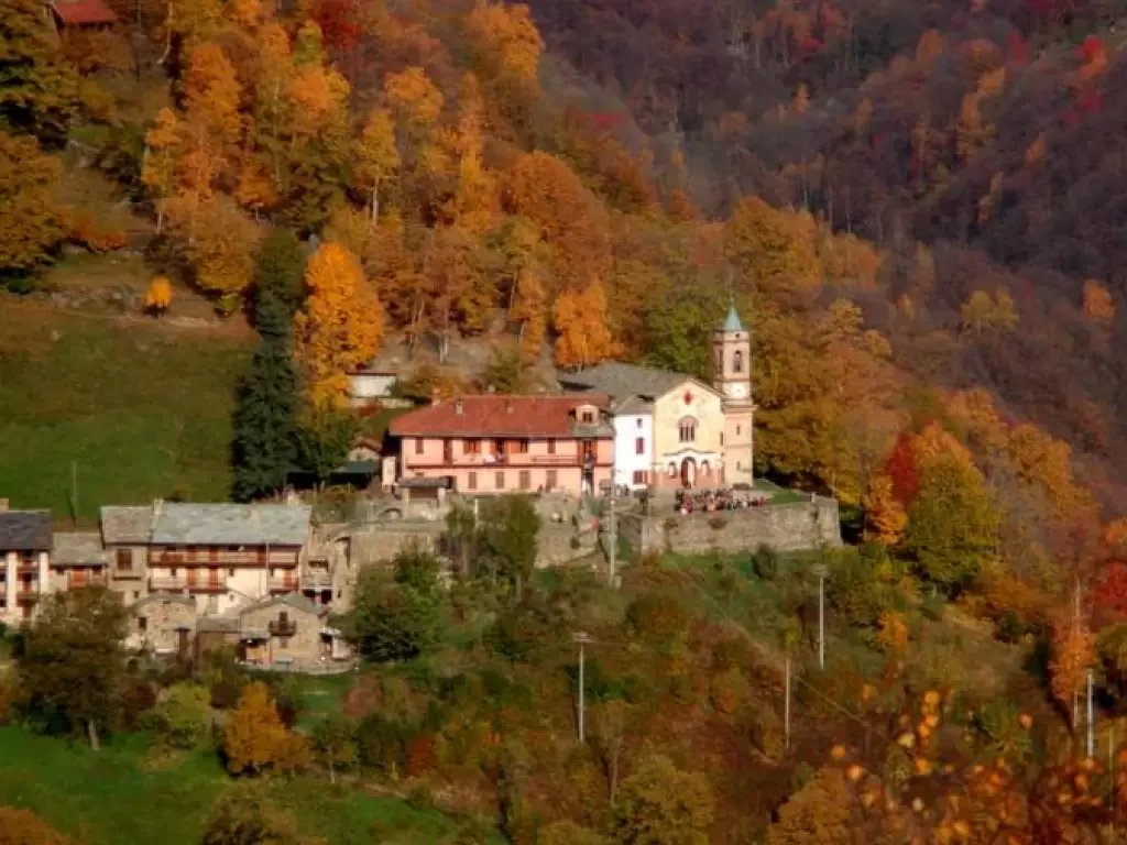
Mandaz is a succession of innumerable groups of houses, some still in good condition; there is a school dating from...
T2
0.00 Km
1002 m
Fort of Orino, from Via Belvedere
In the park, there is an astronomical observatory, an area with wild flowers, various animals, including 20 of the 30...
T2
0.00 Km
250 m
Mont Fortin, from Porassey
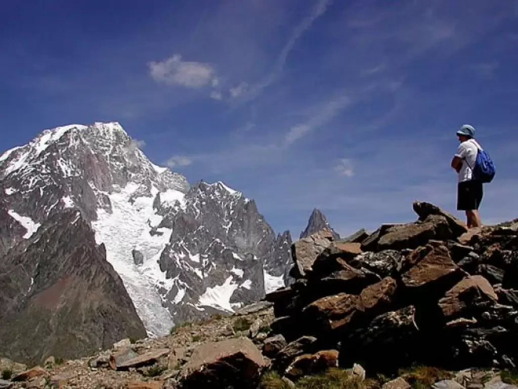
E Mont Fortin is an exceptional viewpoint over the Mont Blanc group, and in particular over the peaks overlooking the...
T2
0.00 Km
889 m
Tour of Lake Viverone
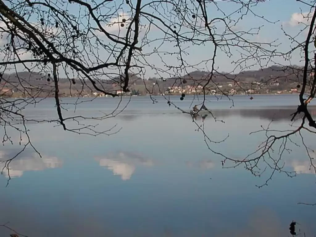
Lake Viverone is situated 230 metres above sea level and belongs to the provinces of Biella, Vercelli, and Turin; it...
T1
0.00 Km
120 m
Brich Burcina
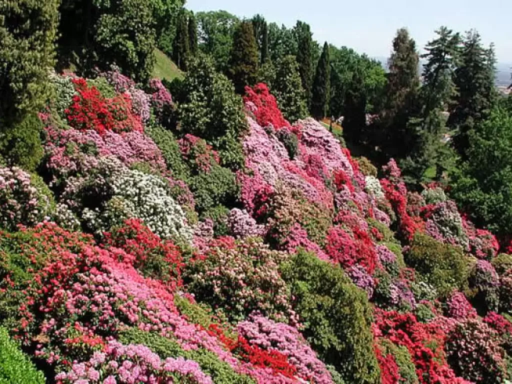
The Brich Burcina is the culminating point of a hill to the east of Pollone, purchased and laid out as...
T2
6.00 Km
265 m
Shelter Captain Ricci, from Rognettaz dessous
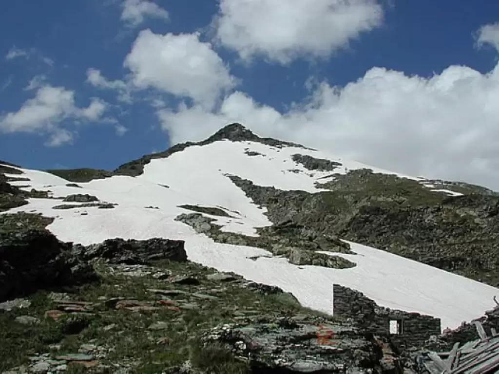
When the valley leading to the Col du Mont and the lake of San Grato is still very snow-covered, as...
T2
0.00 Km
811 m
Grande Traversata del Biellese (GTB)
The Grande Traversata Biellese (Great Biellese Crossing) winds through the Biellese territory, touching on points of historical and scenic interest....
0.00 Km
0 m
Trekking in Val Nervia, from Buggio
Interesting circular tour in a very beautiful and special area, both for the morphology of the terrain and the war...
T2
0.00 Km
1975 m
Valdo - Alpe Devero crossing
Beautiful traverse in Val Formazza, part of the Riale - Simplon Pass route, carried out by spending the night at...
T2
0.00 Km
900 m
